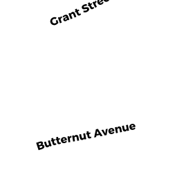
10 BUTTERNUT AVE
Owner Information
PAIK YOUNG H & SAGE S
10 BUTTERNUT AVE
PEABODY, MA 01960


Property Details
10 BUTTERNUT AVE is classified as a Single Family Residential (Ranch).
The primary structure on this property was built in 1961. There is 4,726ft2 of residential/living space within this property. This property is listed as having 12 rooms. There are 2 units within this property.
10 BUTTERNUT AVE is valued at $658,600. The land is valued at $210,000 and the structures are valued at $448,600. There is an additional valuation of $1,110 on this property.
This property is in Zone R1. Confirm with local Zoning Board authorities to ensure there are no overlays or other easements on this property.
The most recent deed for 10 BUTTERNUT AVE is recorded at the local registrar in Book 29028, Page 135. 10 BUTTERNUT AVE was last sold on Thursday, October 1, 2009 for $380,000.
Assessment data from fiscal year 2022.
Flood Data
According to the FEMA National Flood Hazard Layer, this property does not appear to be in a flood zone. It may also be in an area not yet reviewed. Nonetheless, confirm this information prior to taking any action.
To view the flood hazards around this property, create a FEMA "Firmette" Map of the area around 10 BUTTERNUT AVE.
Broadband Internet Providers
| Provider | Type | Bandwidth (mbps) | |
|---|---|---|---|
| Comcast | Cable | 1000 | 35 |
| Verizon New England Inc. | DSL | 15 | 1 |
| VSAT Systems, LLC. | Satellite | 2 | 1 |
| GCI Communication Corp. | Satellite | 0 | 0 |
| RCN | Cable | 500 | 20 |
| HughesNet | Satellite | 25 | 3 |
| Viasat Inc | Satellite | 100 | 3 |
Broadband service provider data from December 2020.
Adjacent Properties
- 8 BUTTERNUT AVE
Single Family Residential owned by SMITH DONALD & ELEANORE R - 7 MULBERRY DR
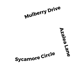
Single Family Residential owned by FITZGERALD LAUREN S & - 9 MULBERRY DR
Single Family Residential owned by VINAGRO BRIAN & MELANIE - 12 BUTTERNUT AVE
Single Family Residential owned by FORD CHRISTOPHER D & CHRISTINE M - 11 MULBERRY DR
Single Family Residential owned by BURGIN VERONICA L LIFE ESTATE